Description
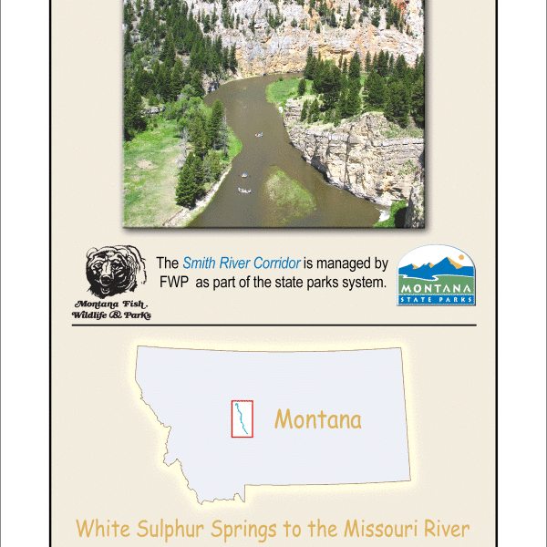
Smith River Map -Smith River State Park & River Corridor Recreation Map by River Rat Maps
High quality, detailed river map printed on durable waterproof and tear proof, plastic of the entire float section of the Smith River from Camp Baker to Eden Bridge.
River Rat Map Features:
- Updated in 2019! (The product photo shows the older map, but what you will receive from us will be the 2019 updated version. This new updated map shows the new Boat Camps and river cautions.)
- River Mileage that has been ground truthed with GPS
- Access Points for boats and walk-in (There’s not many for the Smith!)
- Access Descriptions like what type of boat ramp or walk-in, private, public, etc.
- Diversion Dams (Info that’s critical to boating safety.)
- GPS Coordinates
- Rapids -location and descriptions and tips
- Campgrounds and River Boat Camps, including descriptions and GPS coordinates for each site
- Popular Game Fish
- Points of Interest both cultural and natural
- Printed in the USA!
Shop Staff Notes: This Smith River Map is THE map you need for your Smith River Trip. It has detailed information of the entire Smith River from Camp Baker to Eden Bridge. This map is a must have for anyone floating the Smith River. It includes Access Locations, Access Descriptions, Boat Camp Locations, Camp Descriptions, River Mileage, GPS Coordinates, Popular Game Fish info, Rapids and more. Great to have at least one for pre-trip planning!! Also makes for a nice souvenir of your Smith River trip whether you were on one of our Smith River Guided Trips or on a private launch, DIY trip. Another fun way to know where you are on the river is to get our super popular, Smith River Silipint! It’s got the Smith Map on one side and our Montana Logo on the other. We sell out of these Silipints by the end of our Smith River float season (mid-July), so get your’s before this year’s colors are all gone.
GOT A PERMIT? If you are planning a Self-Guided Smith River Trip, CrossCurrents Fly Shop has developed a check list to help ensure you have everything you’ll need for 4-5 days in the semi-wilderness. Download CrossCurrents Smith River Check List. (Apply for a Smith River Float Permit online on the FWP Smith River Page)
Want more information on floating the Smith River? Read our 3-part blog post on floating the Smith River.
Need to Rent a Raft or a Bear-Proof Yeti Cooler or an Portable Electric Bear Fence or other river and camping gear? We’ve got you covered. We have all the gear you need to have a memorable trip down the Smith River.
CrossCurrents Fly Shop has several Smith River experts on Staff to help with your trip. Something we do for lots of floaters is put together a custom assortment of Flies for their specific trip. We take into account the launch date and current river and weather conditions. Click here to order online a custom assortment of Smith River Flies for your trip.
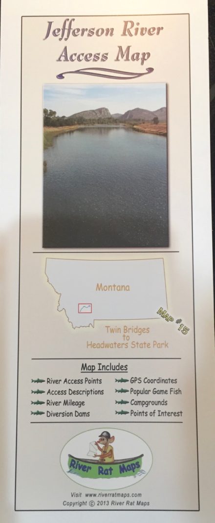
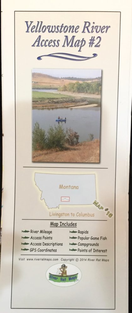
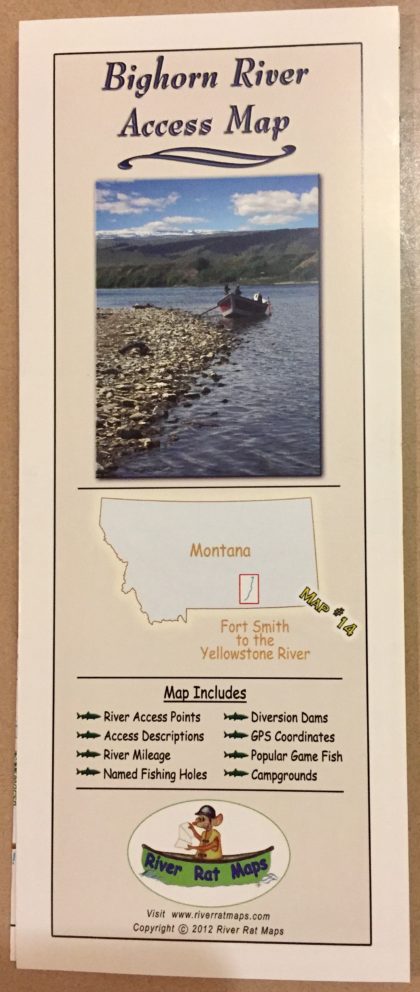
Other River Rat Maps available from CrossCurrents Fly Shop: Smith River, Missouri River below Holter, Missouri River (Three Forks to Holter Lake), Blackfoot River, Beaverhead, Bighorn, Big Hole, Bitterroot, Clark Fork #1, Clark Fork #2, Alberton Gorge, Jefferson, Gallatin, Madison, Rock Creek, Yellowstone #1, Yellowstone #2, NF of Flathead.



Reviews
There are no reviews yet.