Description
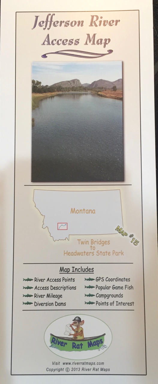
Jefferson River Access Map (Twin Bridges to Headwaters State Park) by River Rat Maps
This Jefferson River Map is a high quality, detailed river map printed on durable waterproof and tear proof, plastic of the Jefferson River in Montana from Twin Bridges to Headwaters State Park.
River Rat Map Features:
- River Mileage that has been ground truthed with GPS
- Access Points for boats and walk-in
- Access Descriptions like what type of boat ramp or walk-in, private, public, etc.
- Diversion Dams (Info that’s critical to boating safety.)
- GPS Coordinates
- Rapids -location and descriptions and tips
- Campgrounds
- Popular Game Fish
- Points of Interest both cultural and natural
Shop Staff Notes: This is THE trustworthy map for floating or accessing the famous Jefferson River. Great to have one for pre-trip planning. Also makes for a nice souvenir of your Jefferson River trip whether you were on a Guided Trips or were fishing on your own.
Need to Rent a Drift Boat or Raft or a other river equipment and gear for an upcoming Montana fly fishing trip? We’ve got you covered. We have all the gear you need to have a memorable trip to Montana.
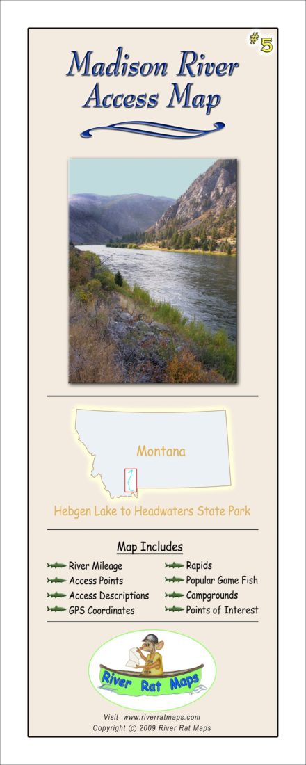
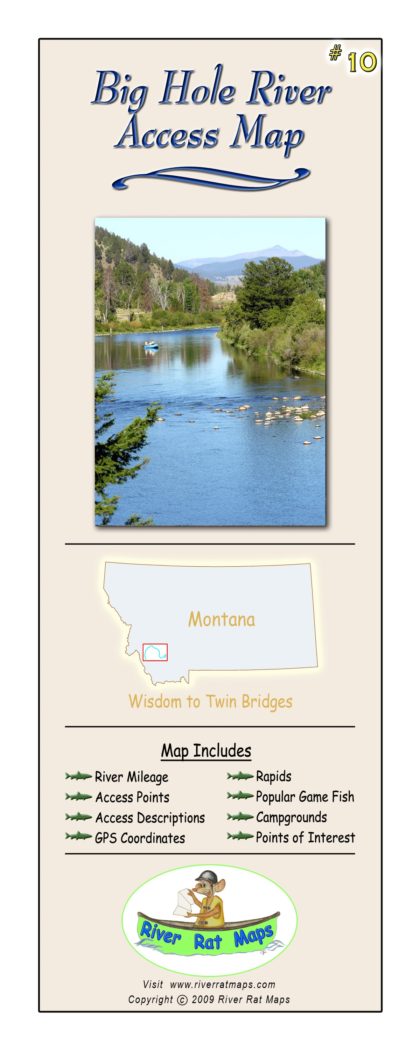
Other River Rat Maps available from CrossCurrents Fly Shop: Smith River, Missouri River below Holter, Missouri River (Three Forks to Holter Lake), Blackfoot River, Beaverhead, Bighorn, Big Hole, Bitterroot, Clark Fork #1, Clark Fork #2, Alberton Gorge, Jefferson, Gallatin, Madison, Rock Creek, Yellowstone #1, Yellowstone #2, NF of Flathead.

Reviews
There are no reviews yet.